Understanding USPS Zones
When it comes to shipping, one of the primary factors influencing the final cost is the distance between the sender and the receiver. This is where USPS zones come into play. USPS zones are geographic areas that determine shipping costs based on the distance a package travels. By comprehensively understanding USPS zones, businesses and individuals can optimize their shipping strategies to save time and money.
Different USPS Zone Types
USPS utilizes various zone types to categorize shipments:
- Domestic Zones: Cover shipments within the United States.
- Military Zones: Pertains to shipments to and from military bases.
- International Zones: Includes shipments to countries outside the United States.
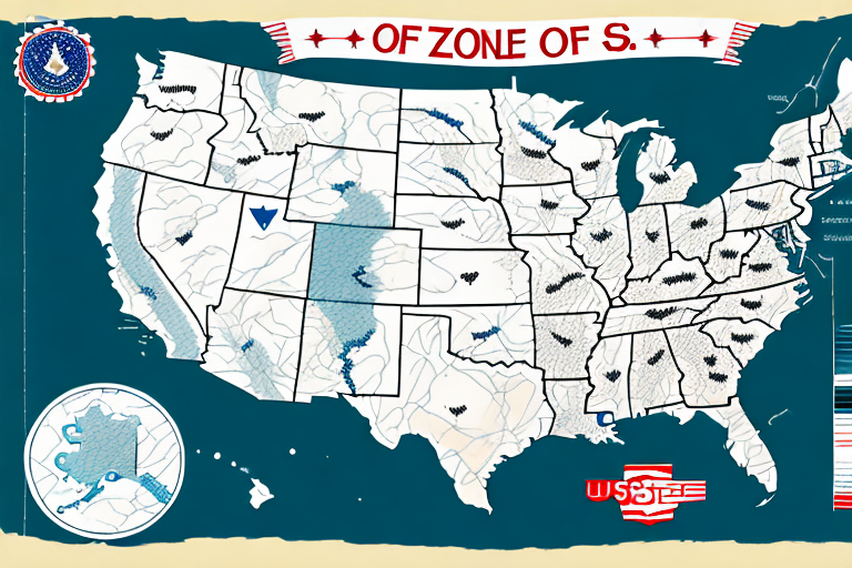
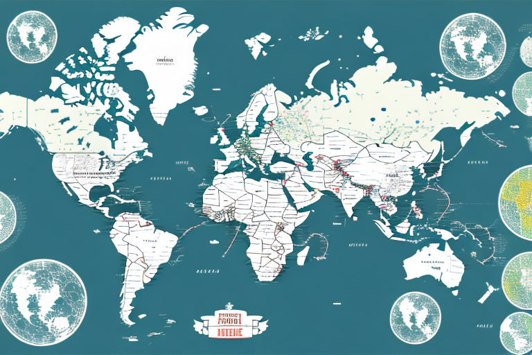
Each zone type is color-coded on the interactive zone map, facilitating easy identification and accurate shipping calculations.
Determining Your Shipping Zone
To determine your shipping zone, you need both the origin and destination ZIP codes. Inputting these into the USPS Zone Map will reveal the designated zone for your shipment. Accurate zone determination ensures that you select the most cost-effective shipping service and avoid unexpected expenses.
Impact of USPS Zones on Shipping Costs
USPS zones play a crucial role in calculating shipping costs. The primary way zones impact costs is by defining the distance a package must travel:
How Zones Affect Costs
The further the distance between the origin and destination ZIP codes, the higher the shipping cost. For example, a package shipped from New York (Zone 1) to Los Angeles (Zone 8) will cost more than a package sent within Zone 1.
Regional Rate Boxes
USPS offers Regional Rate Boxes, which provide a cost-effective shipping option based on the destination zone rather than the package's weight or distance. This is particularly beneficial for heavier or bulkier items destined for nearby zones.
According to the USPS Postal Addressing Standards, using Regional Rate Boxes can result in significant savings for businesses with regular shipping needs.
Using the USPS Zone Map
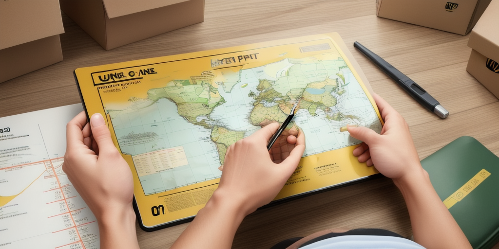
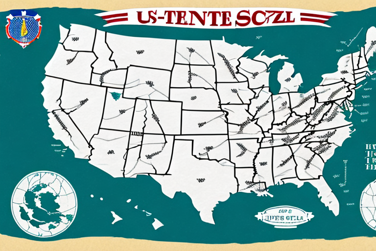
The USPS Zone Map is an essential tool for anyone looking to optimize their shipping strategy. It provides a visual representation of USPS zones, making it easier to plan and execute shipments efficiently.
How to Use the Zone Map
To use the USPS Zone Map effectively:
- Identify the origin and destination ZIP codes.
- Access the interactive USPS Zone Map.
- Input the ZIP codes to determine the corresponding zone.
This process helps in calculating accurate shipping rates and selecting the appropriate shipping service.
Benefits of an Interactive USPS Zone Map
An interactive zone map offers several advantages:
- Time Efficiency: Quickly determine zones without manual calculations.
- Visual Clarity: Easily understand geographic distributions and plan accordingly.
- Cost Optimization: Identify the most economical shipping options based on zone data.
These benefits collectively contribute to a streamlined and cost-effective shipping process.
Optimizing Your Shipping Strategy with USPS Zones
Effective use of USPS zones can significantly enhance your shipping strategy, leading to cost savings and improved delivery times.
Tips for Saving Money
- Use Regional Rate Boxes: Opt for Regional Rate Boxes when shipping to nearby zones to reduce costs.
- Leverage Online Discounts: Take advantage of USPS online shipping discounts by creating an account and printing labels online, saving up to 16% on Priority Mail and up to 60% on Express Mail.
- Optimize Packaging: Use appropriately sized packaging to minimize dimensional weight charges.
Common Mistakes to Avoid
Avoid the following common mistakes when using the USPS Zone Map:
- Incorrect ZIP Codes: Ensure accuracy in entering both origin and destination ZIP codes to prevent miscalculations.
- Ignoring Package Dimensions: Consider the size and weight of your package, as these factors influence shipping costs alongside the zone.
- Neglecting Carrier Comparisons: Compare USPS rates with other carriers like FedEx and UPS to ensure you're selecting the most cost-effective option.
Technology and USPS Zones
Advancements in technology have enhanced the accuracy and efficiency of USPS zones:
- Interactive Tools: Online tools simplify zone determination and rate calculations.
- Address Verification Software: Reduces undeliverable packages by ensuring accurate addresses.
- Automation: Streamlines the shipping process, allowing faster sorting and handling of packages.
USPS Zones in E-commerce
For e-commerce businesses, USPS zones are integral in managing shipping logistics effectively:
- Accurate Shipping Costs: Precisely calculate shipping fees, leading to transparent pricing for customers.
- Improved Delivery Times: Plan shipments based on zone data to ensure timely deliveries.
- Customer Satisfaction: Reliable shipping fosters trust and encourages repeat business.
According to a report by Statista, accurate shipping strategies are a key contributor to customer satisfaction in the e-commerce sector.
Comparing USPS Zones with Other Carriers
While USPS zones are specific to the United States Postal Service, other carriers like FedEx and UPS also use zone-based systems to determine shipping costs:
- FedEx Zones: Similar to USPS, FedEx uses zones to calculate shipping rates based on distance.
- UPS Zones: UPS employs a zone system that may have different definitions and rate structures compared to USPS.
It's essential to compare the zone systems of each carrier to select the one that best fits your shipping needs. For detailed comparisons, refer to the official resources provided by each carrier:
History and Evolution of USPS Zones
The USPS zone system has evolved significantly since its inception, adapting to changing shipping needs and technological advancements:
- 1963: Introduction of the modern USPS zone system to standardize shipping rates.
- 1997: Implementation of the Zone Improvement Plan (ZIP) code system, enhancing the precision of zone-based shipping.
- 2019: Adoption of dimensional weight pricing, charging based on package size and weight in addition to distance.
These updates have improved the accuracy and efficiency of USPS shipping, benefiting both the postal service and its customers.
Conclusion
Understanding and utilizing USPS zones is crucial for optimizing shipping strategies. By accurately determining zones, leveraging technological tools, and avoiding common mistakes, businesses and individuals can achieve significant cost savings and ensure timely deliveries. Whether you're an e-commerce entrepreneur or an individual sender, mastering USPS zones can enhance your overall shipping efficiency and customer satisfaction.


