Understanding the FedEx Zones Map
The FedEx Zones Map is a vital tool for businesses and individuals aiming to optimize their shipping strategies and minimize costs. By providing detailed information on shipping rates and delivery times across various zip codes and destinations, the FedEx Zones Map aids in making informed logistics decisions.
What is the FedEx Zones Map?
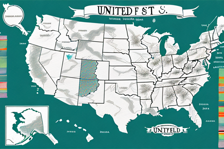
The FedEx Zones Map visually represents different shipping zones within the United States, determined primarily by the distance between the shipping origin and destination. The map uses a color-coding system, ranging from light yellow for nearby locations to dark blue for distant areas, indicating higher shipping costs and longer delivery times.
How Does the FedEx Zones Map Work?
To utilize the FedEx Zones Map, users input the origin and destination zip codes. The map then identifies the corresponding shipping zone and provides estimated shipping information. While the map offers valuable estimates, actual shipping rates may vary based on factors such as package weight, size, and chosen shipping method.
Benefits of Using the FedEx Zones Map
Cost Optimization
By understanding the shipping zones, businesses can select the most cost-effective shipping methods. This knowledge allows for strategic decision-making regarding package size, weight, and shipping speed, ultimately reducing overall shipping expenses.
Improved Delivery Planning
The map aids in forecasting delivery times, enabling businesses to manage customer expectations and plan inventory more effectively. This can lead to enhanced customer satisfaction and streamlined supply chain operations.
Strategic Location Planning
Businesses can use zone information to determine optimal locations for warehouses and distribution centers. Placing facilities in areas that minimize shipping distances can lead to faster delivery times and lower transportation costs.
Factors Influencing FedEx Shipping Zones
Distance Between Origin and Destination
The primary factor determining a shipping zone is the geographic distance between the origin and destination. Greater distances typically result in higher shipping costs and longer delivery times.
Package Weight and Size
Heavier and larger packages may incur higher shipping costs and may be classified into different zones due to the increased handling and transportation requirements.
Transportation Mode and Service Level
The chosen transportation mode (e.g., ground, air) and service level (e.g., overnight, standard) significantly impact the shipping zone classification and associated costs.
External Factors
Factors such as weather conditions, natural disasters, and logistical disruptions can affect delivery times and shipping costs, influencing the effectiveness of the FedEx Zones Map.
Optimizing Your Shipping Strategy with the FedEx Zones Map
Accurate Data Entry
Ensure that origin and destination zip codes are entered correctly to obtain the most accurate zone and shipping information. Mistakes in zip code entry can lead to incorrect shipping estimates and unexpected costs.
Leverage Shipping Tools
Utilize FedEx’s suite of shipping tools, such as the Shipping Rate Calculator and FedEx Delivery Manager, to streamline your shipping process and gain deeper insights into shipping costs and delivery schedules.
Strategic Inventory Management
Align your inventory management with shipping zones to reduce transit times and costs. By anticipating shipping needs based on zone data, businesses can maintain optimal stock levels and improve overall efficiency.
Interpreting the FedEx Zones Map Colors
Color-Coding System
The FedEx Zones Map employs a color-coded system to represent different shipping zones:
- Light Yellow: Nearby locations with lower shipping costs and shorter delivery times.
- Green: Moderate distances with balanced shipping costs and delivery times.
- Dark Blue: Distant locations requiring higher shipping costs and longer delivery times.
Understanding Estimates
While the color codes provide a general estimate of shipping costs and delivery times, actual rates can vary based on specific package details and chosen services. It's essential to use the map as a guide and verify details with FedEx's official tools.
Common Mistakes to Avoid with the FedEx Zones Map
Incorrect Zip Codes
Entering inaccurate origin or destination zip codes can lead to incorrect zone identification, resulting in unexpected shipping costs and delays. Always double-check zip codes before processing shipments.
Ignoring Package Specifications
Failing to account for package weight and size can result in selecting inappropriate shipping zones, leading to higher costs or delivery issues. Ensure all package details are accurately recorded.
Overlooking External Factors
Natural events and weather conditions can disrupt shipping schedules. Stay informed about potential disruptions and plan accordingly to mitigate risks.
The Future of the FedEx Zones Map
Technological Advancements
With the rise of e-commerce and evolving global supply chains, the FedEx Zones Map is expected to incorporate more advanced technologies such as real-time data analytics and machine learning to enhance accuracy and reliability.
Enhanced Customization
Future developments may allow for greater customization, enabling businesses to input specific parameters and receive tailored shipping solutions that align with their unique needs.
Integration with Supply Chain Management
Integrating the FedEx Zones Map with comprehensive supply chain management systems can provide a holistic approach to logistics, improving efficiency and reducing costs across the board.
Resources for Further Information
- FedEx Shipping Zones – Official information on FedEx shipping zones.
- U.S. Department of Transportation – Insights into transportation and logistics trends.
- International Journal of Physical Distribution & Logistics Management – Academic research on logistics and supply chain management.


