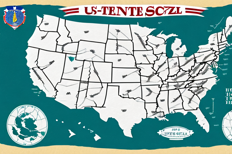
Understanding the USPS Zone Map for 2023
The USPS Zone Map is an indispensable tool for individuals and businesses alike when it comes to shipping packages or mail through the United States Postal Service (USPS). As we navigate through 2023, having a thorough understanding of this map can lead to significant cost savings and more efficient shipping processes. This article provides an in-depth analysis of the USPS Zone Map, including its history, calculation methods, common misconceptions, and practical tips for optimizing your shipping strategy.
What is the USPS Zone Map and Why is it Important?
Definition and Purpose
The USPS Zone Map is a geographical representation of the United States divided into multiple zones based on the distance between the origin and destination of a package or letter. The primary purpose of this zoning system is to streamline the shipping process by determining the cost and delivery time based on the number of zones a package must traverse.
Economic Impact
For businesses, understanding the Zone Map is crucial for calculating shipping costs accurately, which directly affects profit margins. According to the USPS Pricing Guide, shipping rates increase with the number of zones a package crosses, making it essential to optimize shipping routes to minimize costs.
The History and Evolution of the USPS Zone Map
Origins and Early Developments
Introduced in 1963, the USPS Zone Map was established to replace the older Postal Zone System. This modernization aimed to enhance package delivery times and improve mail processing efficiency. Over the decades, the map has undergone several revisions to adapt to changing logistical demands and technological advancements.
Significant Updates
One notable update occurred in 1991 with the introduction of the ZIP+4 system, which added four additional digits to the standard five-digit ZIP code. This enhancement allowed for more precise sorting and delivery, leading to adjustments in the Zone Map to accommodate the increased granularity. Recent updates in 2023 have focused on integrating new transportation routes and addressing logistical challenges posed by the rise in e-commerce.
How the USPS Zone Map is Calculated
Distance-Based Zoning
The Zone Map is primarily based on the distance between the origin and destination, measured in postal miles. USPS employs the "as the crow flies" method, which calculates the direct distance rather than the actual travel route. This approach provides a standardized way to determine shipping costs across different regions.
Factors Influencing Zone Calculation
- Origin and Destination ZIP Codes: The specific ZIP codes of the sender and receiver are crucial in determining the zones.
- Package Weight and Dimensions: While the zone map focuses on distance, the weight and size of the package also play significant roles in calculating shipping costs.
- Shipping Method: Different USPS services (e.g., Priority Mail, First-Class Mail) may have varying pricing structures based on zones.
Using the USPS Zone Map for Shipping
Determining the Zones
To use the Zone Map effectively, start by identifying the ZIP codes of both the origin and destination. Utilize the USPS Zone Lookup Tool to determine the specific zones associated with these ZIP codes.
Calculating Shipping Costs
Once the zones are identified, refer to the USPS pricing tables or an online rate calculator to estimate shipping costs. The cost typically increases with the number of zones traversed and the weight of the package.
Factors Affecting Shipping Costs Using the Zone Map
Package Weight and Dimensions
Heavier and larger packages incur higher shipping costs. USPS pricing tiers are structured to accommodate different weight classes, so accurately measuring and weighing your package is essential for cost estimation.
Shipping Speed and Services
Expedited services like Priority Mail Express offer faster delivery times but come at a higher cost compared to standard services. Choosing the appropriate service based on urgency and budget can impact overall shipping expenses.
Additional Services
Options such as insurance, delivery confirmation, and special handling fees can add to the total shipping cost. Evaluate the necessity of these services to balance cost and security.
Common Misconceptions About the USPS Zone Map
Zone Map Determines Delivery Routes
Many believe that the Zone Map dictates the exact delivery routes taken by USPS. In reality, while zones influence cost and delivery time estimates, the actual routes depend on USPS logistics and transportation schedules.
Applicability to All USPS Services
Another misconception is that the Zone Map only applies to Priority Mail. In fact, the Zone Map is utilized across various USPS services, including First-Class Mail, Media Mail, and Parcel Select.
Tips for Saving Money When Shipping with the USPS Zone Map
Optimize Package Weight and Size
Reducing the weight and dimensions of your package can lead to significant savings. Use lightweight materials and compact packaging to stay within lower weight brackets.
Choose Cost-Effective Shipping Methods
Selecting standard shipping services over expedited ones when time permits can lower costs. Compare different USPS services to find the most economical option that meets your delivery timeline.
Utilize USPS Shipping Tools
Leverage USPS tools such as Click-N-Ship and the USPS Discounts for bulk shipping to access discounted rates and streamline your shipping process.
Staying Updated with Changes in the USPS Zone Map
Regularly Check Official Resources
USPS periodically updates the Zone Map to reflect changes in delivery routes and transportation logistics. Stay informed by regularly visiting the official USPS website and subscribing to their updates.
Adjust Your Shipping Strategy Accordingly
Be proactive in adapting your shipping methods based on the latest Zone Map updates. This ensures that you continue to benefit from cost-effective shipping and timely deliveries.
Conclusion
The USPS Zone Map remains a vital component for anyone involved in shipping within the United States. By understanding how the map works, how zones are calculated, and the factors that influence shipping costs, you can make informed decisions that optimize both cost and efficiency. Stay informed about updates, dispel common misconceptions, and apply strategic tips to maximize the benefits of the USPS Zone Map in 2023 and beyond.